Site navigation

Main menu

  • About Us
  • Support Us
  • About a place
  • About the County
  • Resources
  • Gallery

Breadcrumb

  1. Home
  2. Population

Population

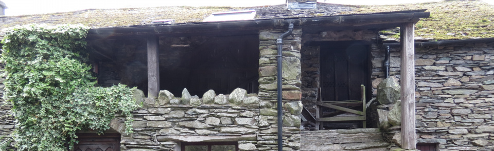
The above image shows a house at Hartsop, with (so-called) spinning gallery


Spreadsheets showing the population of each ward in all the Censuses from 1801 to 2001

  • West Ward Census (93.51 KB)
  • Allerdale Below Census (194.97 KB)
  • Allerdale Above Census (478.34 KB)
  • East Ward Census (99 KB)
  • Lonsdale Ward Census (32.77 KB)
  • Cumberland Ward Census (126.73 KB)
  • Eskdale Ward Census (148.26 KB)
  • Kendal Ward Census (189.2 KB)
  • Leath Ward Census (180.28 KB)
  • Cumberland & Westmorland Facts & Figures, Lancaster Uni Occasional Paper 1965 (493.14 KB)
  • Historical Population Data for Cumberland and Westmorland (189.52 KB)

About the County

  • 100 Interesting Facts
  • The VCH Project (County-Wide aspects)
  • Economic and Industrial History
  • Landownership
  • Landscape, Maps & Architecture
  • The Lives of People (Social, Transport, Religious and Military History)
  • Population
Lancaster University
Cumberland and Westmorland Antiquarian and Archaeological Society

Copyright © CCHT 2025

Footer

  • Contact us
  • Cumbrian History Societies
  • Frequently Asked Questions