Landscape, Maps & Architecture
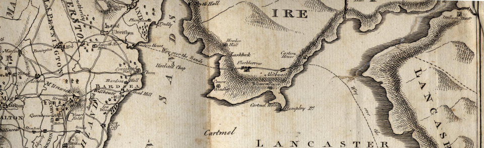
The above image is from Fr Thomas West's Antiquities of Furness (1774), showing the over-sands route from Lancaster to Ulverston
Check our Maps page for links to map websites
- Peter Crosthwaite's Maps of the Lakes 1783-94: for more information see the Gallery (15.46 MB)
- Early Large Scale Maps from Cumbria, by W D Shannon (188.65 KB)
- The Sadgill Dispute Maps 1578-82, by W D Shannon (149.98 KB)
- Bolton Fell 1567 by W D Shannon (507.95 KB)
- Gothic Revival Church Architecture by Michael Haslam (198.56 KB)

