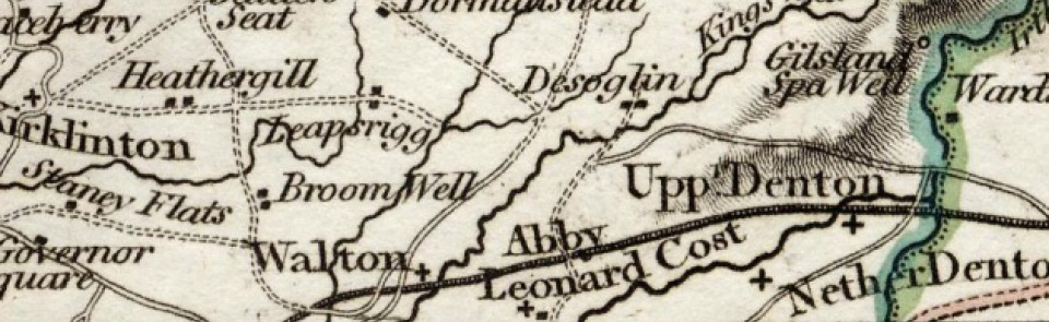
Walton (High & Low)
Ancient parish in Eskdale ward, Cumberland, comprising townships of High Walton and Low Walton.
Acreage:
Walton 3,811 acres [1,542 ha], divided between townships thus: High Walton (including detached portion): 1,680 acres [680 ha]; Low Walton: 1,591 acres [644 ha]. Walton Moss (common to both townships) covered 540 acres [219 ha]. Walton commons (1,200 acres [486 ha]) enclosed 1742.
Population:
estimated at 345 in 1688; rising from 421 in 1801 to peak of 481 in 1831; then declining across later 19th and 20th century to stand at 278 in 2001.
Landownership:
manor of Walton granted to Lanercost Abbey, passing with priory estate after Dissolution to Sir Thomas Dacre 1543, descending in Dacre family until sold by William Dacre 1789 to John Johnson, who built Castlesteads (or Walton Hall) 1789-94. Descended in Johnson family to 20th century.
Economy:
farming; bacon curing in mid-19th century. Brick and tile works (1840s to late 1860s).
Places of worship:
parish church first recorded 1687; rebuilt 1811; rebuilt again (as St Mary’s church) 1869-70. Primitive Methodist chapel built 1858; now closed.
Schools and other institutions:
two schools recorded 1818. Parish school built 1859; closed 1970 and became village hall. Reading room opened 1893; used as meeting room 1970s; now café.

