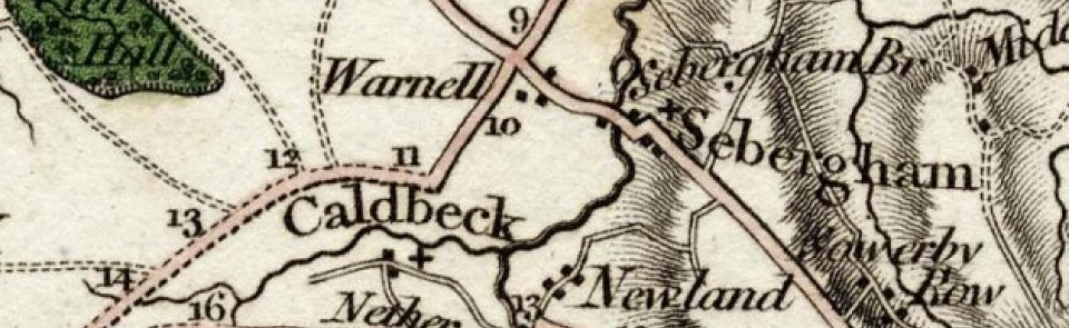
Sebergham
Ancient parish in Cumberland ward, Cumberland, containing two townships or ‘bounds’: High Bound (covering Sebergham Churchtown, Warnell and Parkhead) and Low Bound (covering Upper and Nether Welton).
Acreage:
5,557 acres [2,249 ha], of which 3,724 acres [1,507 ha] was in High Bound and 1,833 acres [742 ha] in Low Bound. Common land on Sebergham Common and Warnell Fell (2,896 acres [1,172 ha]) enclosed 1765.
Population:
estimated at 495 in 1688; rising from 434 in 1801 to peak of 745 in 1861, then slowly falling to 361 in 2001.
Landownership:
part of forest of Inglewood, with which superior manor of Sebergham descended. Another estate called manor of Sebergham granted to Carlisle Priory in 13th century, passing to Dean and Chapter of Carlisle after Dissolution. Smaller subsidiary manors within parish included Warnell (acquired by Denton family from Dacres 1506; sold to Lowthers 1774); Parson’s Park (belonging to rector of Caldbeck) and Hartrigg (held by Dalston family before being acquired by John P. Fletcher in mid-19th century).
Economy:
largely agricultural. Fulling mill at Warnell, recorded 1688. Coal mining and limestone quarrying at Warnell by 17th century; lime-burning and tile-making in 19th.
Places of worship:
medieval parish church of St Mary; tower added 1825; restored 1880 and 1905. St James’ Church (Anglican) at Welton built 1874. Wesleyan Methodist chapel at Welton (by 1861; closed and converted to cottage).
Schools and other institutions:
school taught in west end of church early 18th century; schoolhouse near church by early 19th century (housing circulating library and reading room, established 1858); closed and sold to church 1952; now used as meeting room and accommodation for groups. School at High Welton (later Stony Cross Board School; then Welton Primary School) built 1745; rebuilt 1865 and again in 1960s; closed 2011. Village halls at Welton (built mid-20th century) and Churchtown (built 1983).

