Site navigation

Main menu

  • About Us
  • Support Us
  • About a place
  • About the County
  • Resources
  • Gallery
  • Sizergh Castle

  • Grasmere, from West's Guide to the Lakes, 1778

  • Jenny Brown's Point

  • Arthuret Church

  • Piel Castle

Previous Next

Gallery

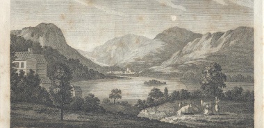
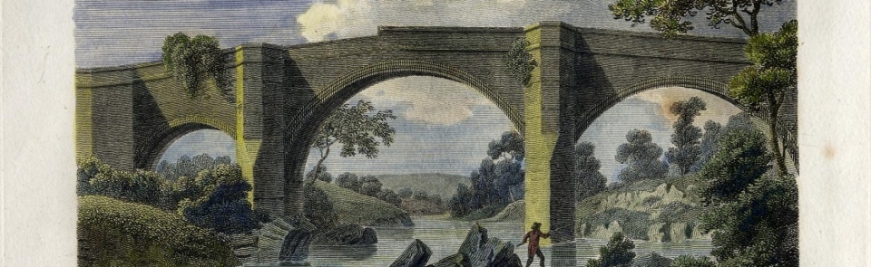
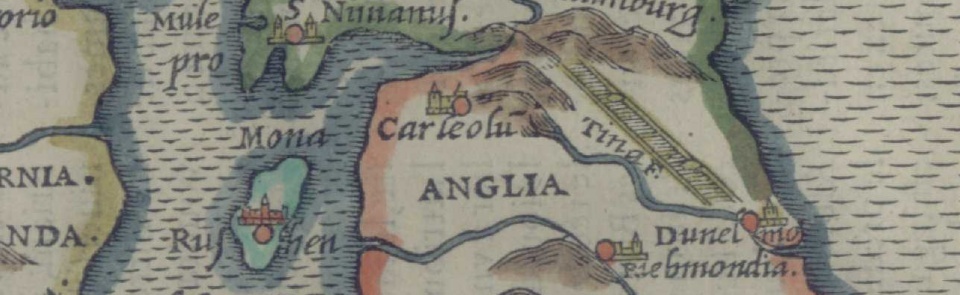
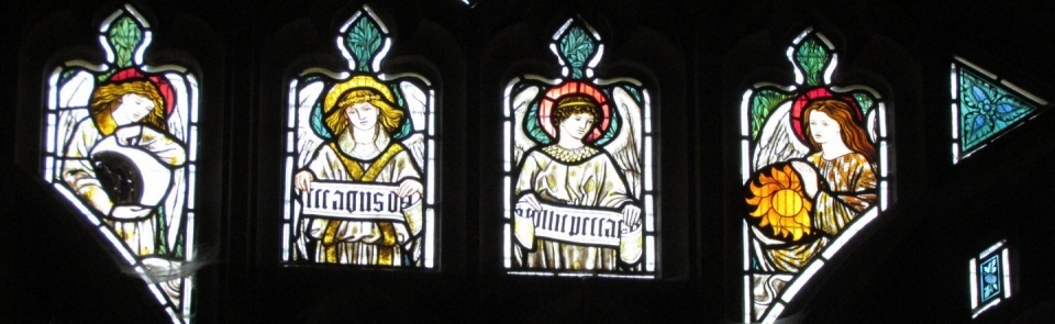
The CCHT Gallery features historic maps, paintings and engravings plus modern photographs.  Either browse the images, or use the Index below to find any images we have of particular places you want to look at. All the images can be downloaded by right clicking on the image and selecting 'save as'.

CLICK HERE for the Index for computers, laptops or tablets

CLICK HERE for the Index for mobile phones


title

Furness Past and Present, Its History and Antiquities, J Richardson 1880

Clarke Title page

James Clarke A Survey of the Lakes 1789 (2nd edn)

The Town and Cathedral of Carlisle (watercolour, c.1800) (Maps K.Top.10.17.b.)

The King George III Topographical Collection

The Matchless Lake of Derwent

Crosthwaite's Maps of the Principal Lakes

Old Maps of Cumbria Gallery

Engravings from Thomas Pennant's Tour from Downing to Alston Moor 1801

W G Collingwood, 'The Lake Counties', 1932: Illustrations by A Reginald Smith

Images from Hutchinson's History of the County of Cumberland, Vol 1 1794

Images from Hutchinson's History of the County of Cumberland Vol II 1794

Joseph Hall Sketchbook DX1065-50

Aqua-tints and engravings from Thomas West's "A Guide to the Lakes in Cumberland, Westmorland and Lancashire", 6th edn, 1796

Lime Kilns in Westmorland

Cumbrian Churches

Incumbents (Boards of Anglican Clergy)

Broughton 6- NY0531 - RNAD Depot

Geograph Images

Place Images

WWI War Memorials

Memorial - WWI Schools Project - Silloth Primary School

Memorial - WWI Schools Project

Lancaster University
Cumberland and Westmorland Antiquarian and Archaeological Society

Copyright © CCHT 2025

Footer

  • Contact us
  • Cumbrian History Societies
  • Frequently Asked Questions