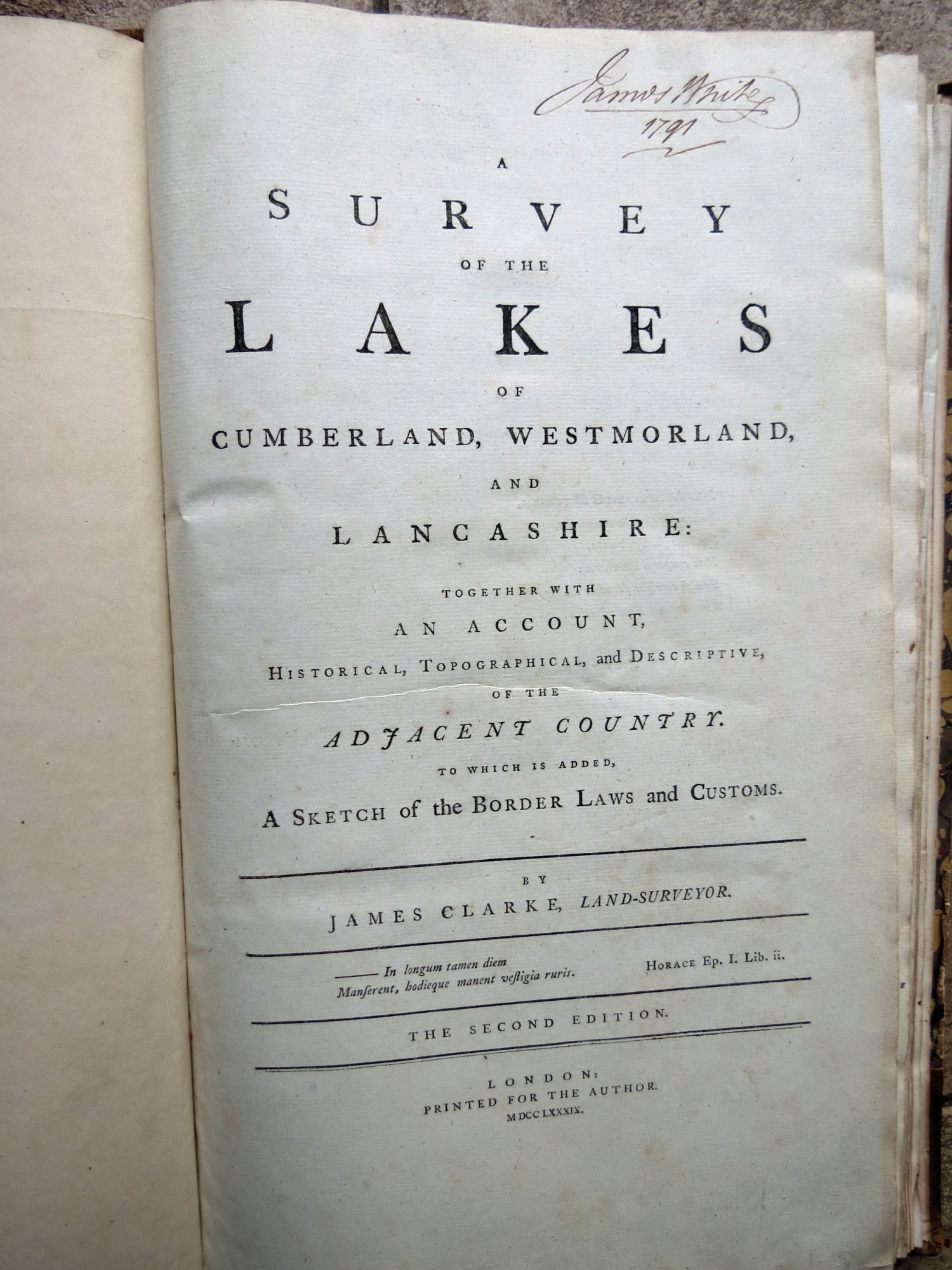
James Clarke A Survey of the Lakes 1789 (2nd edn)
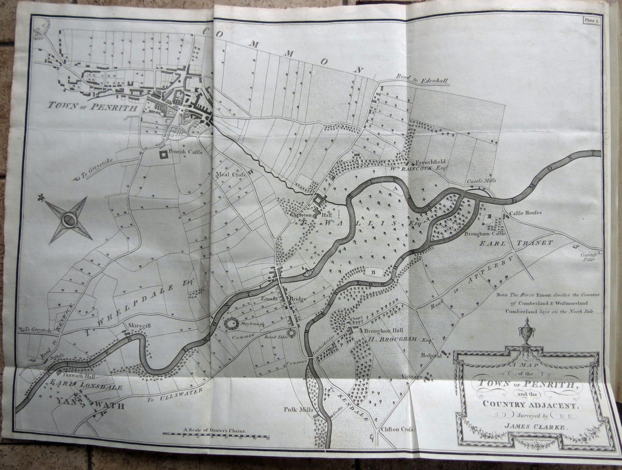
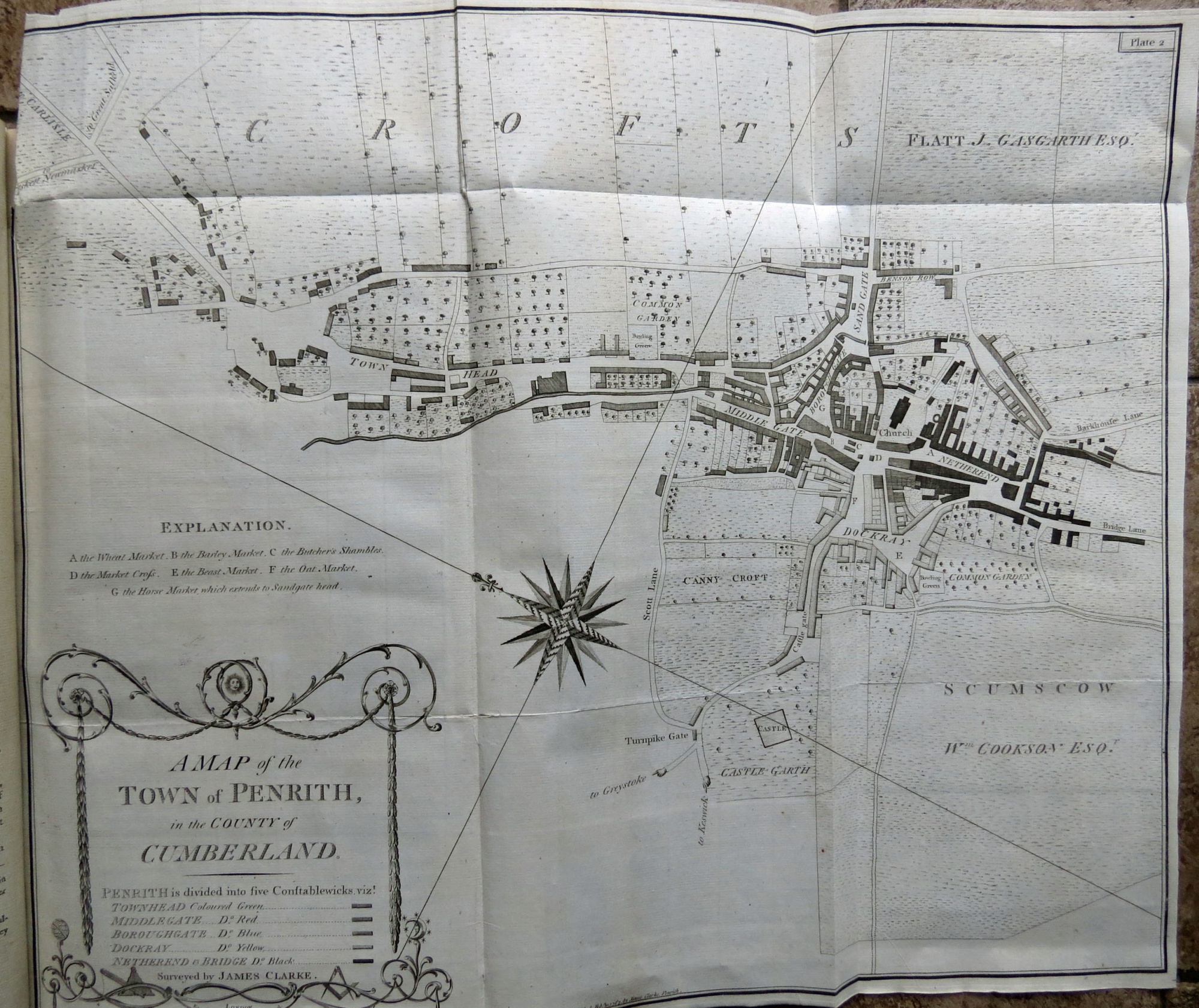
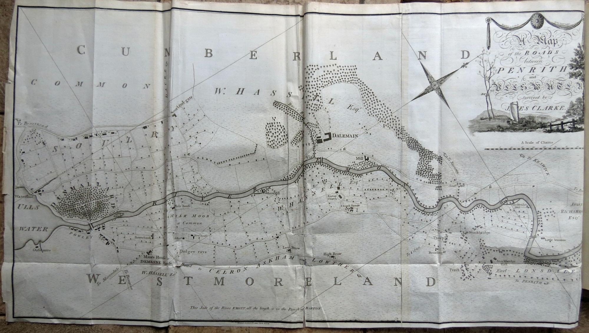
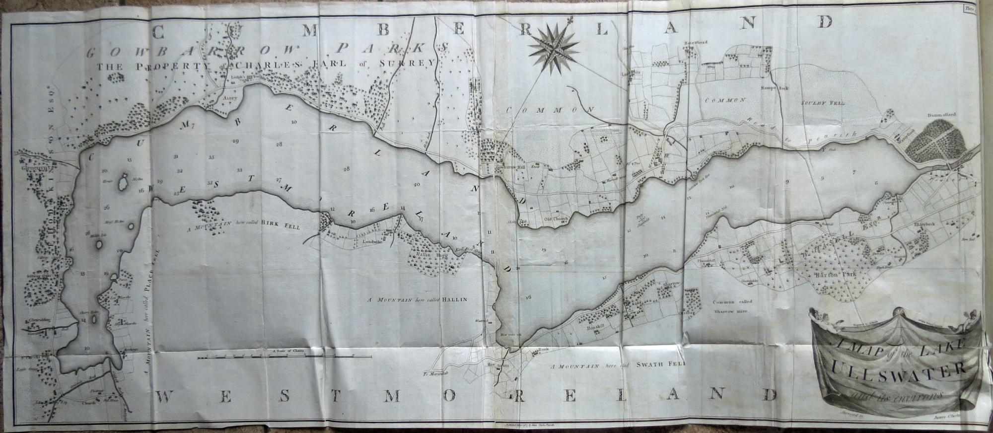
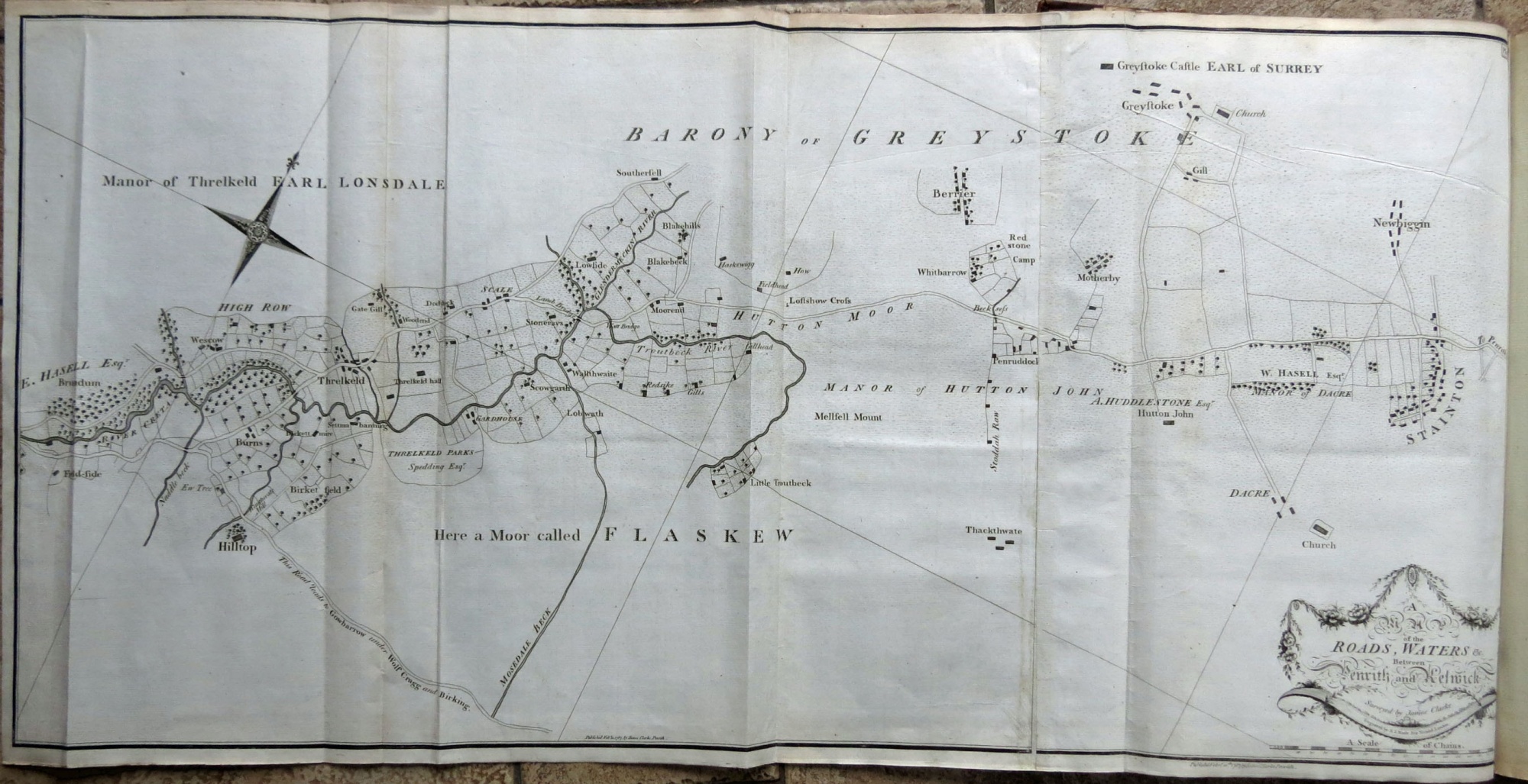
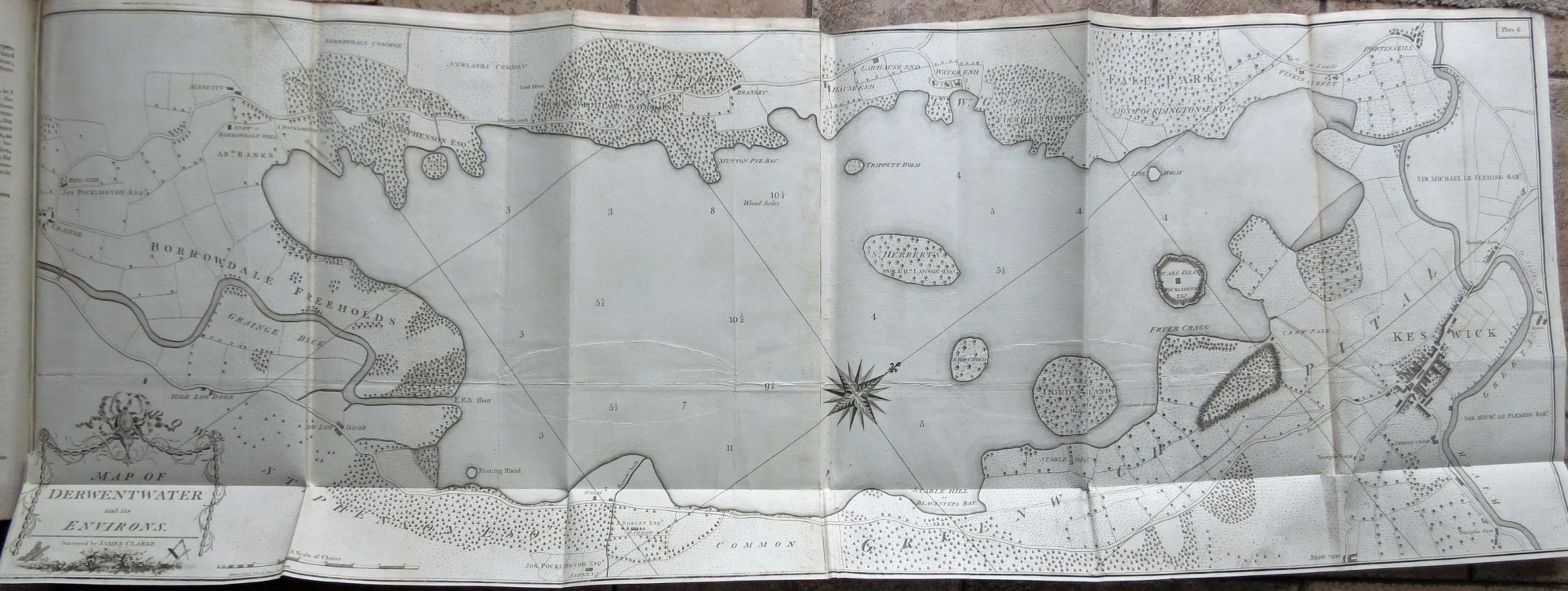
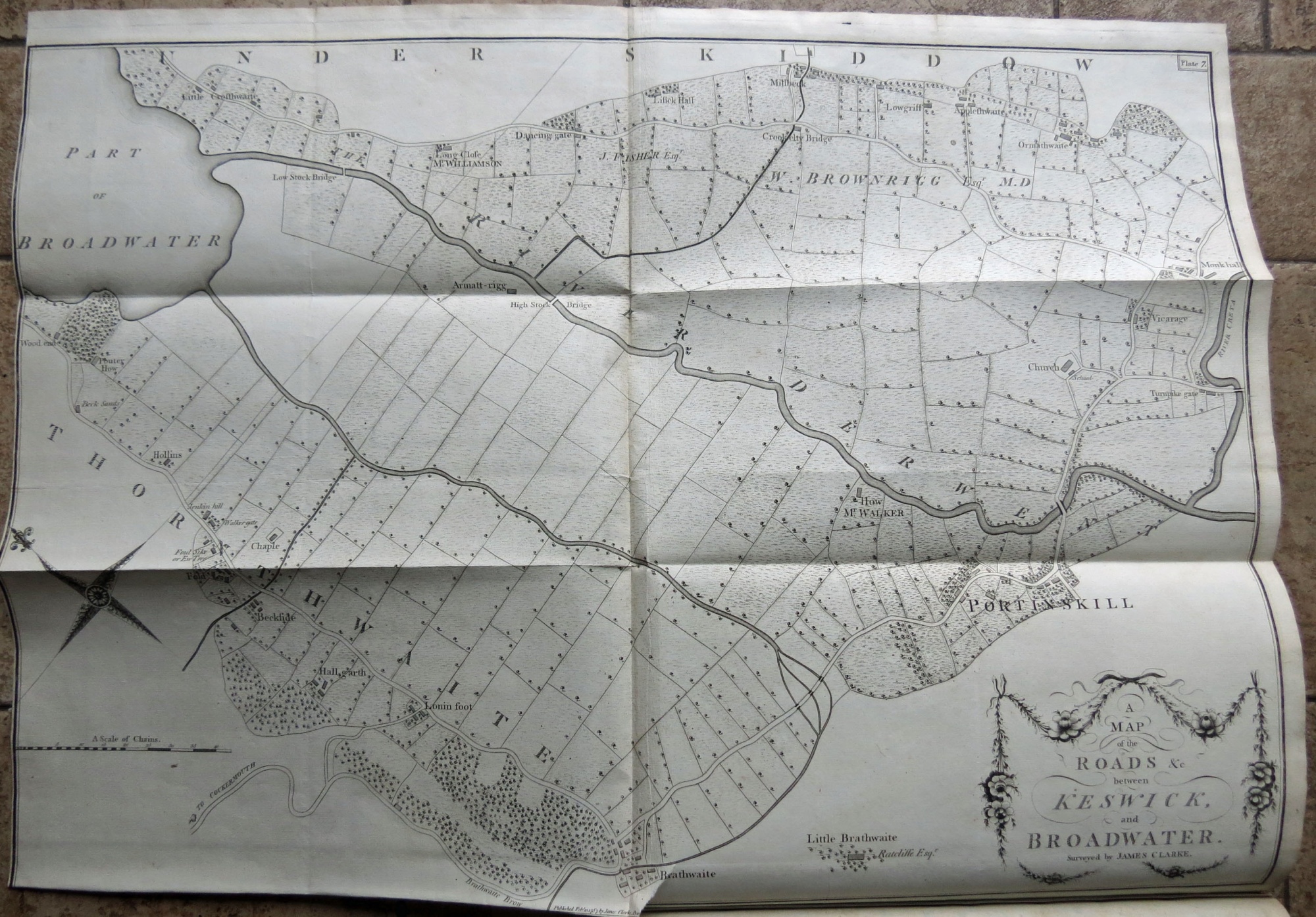
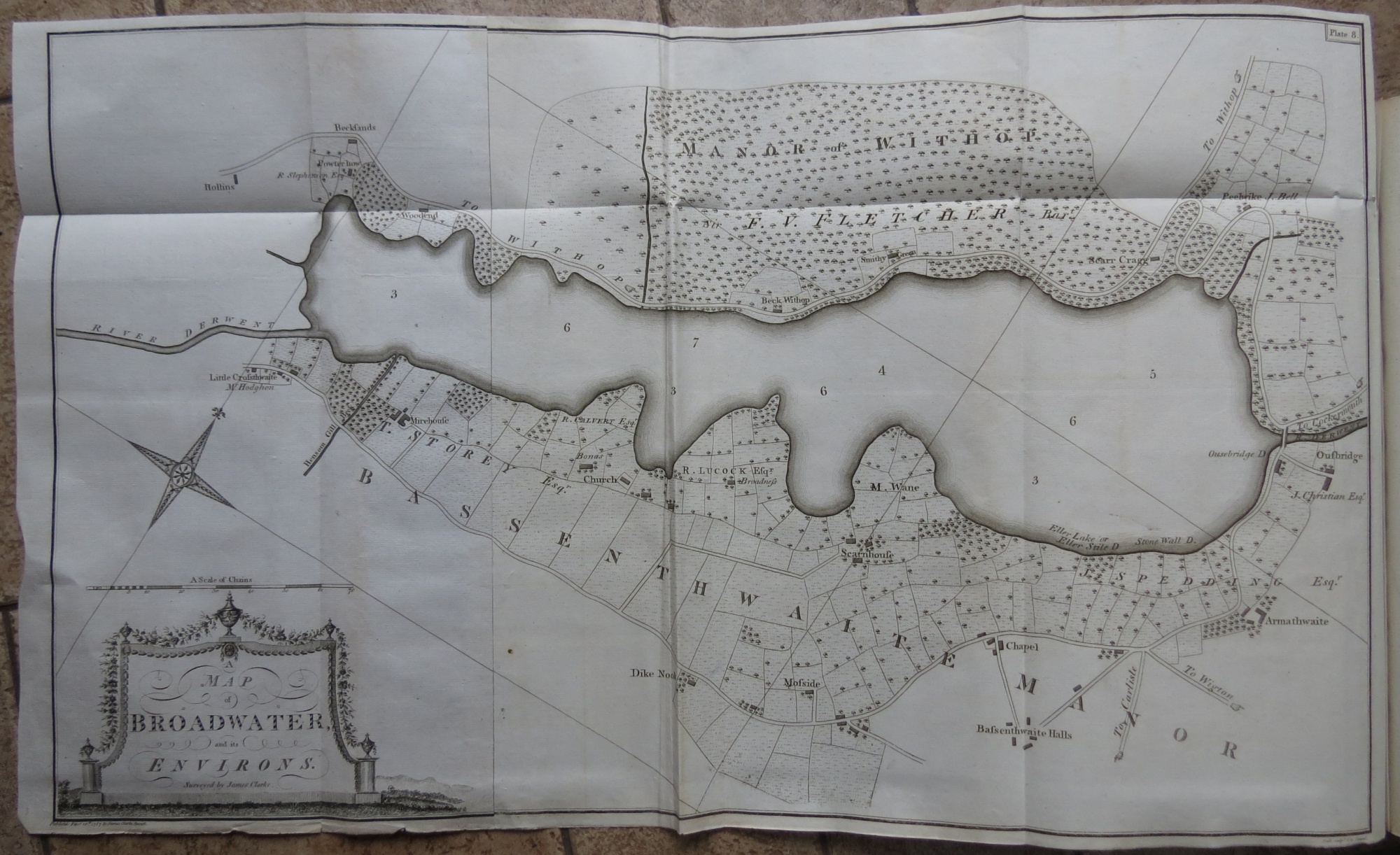
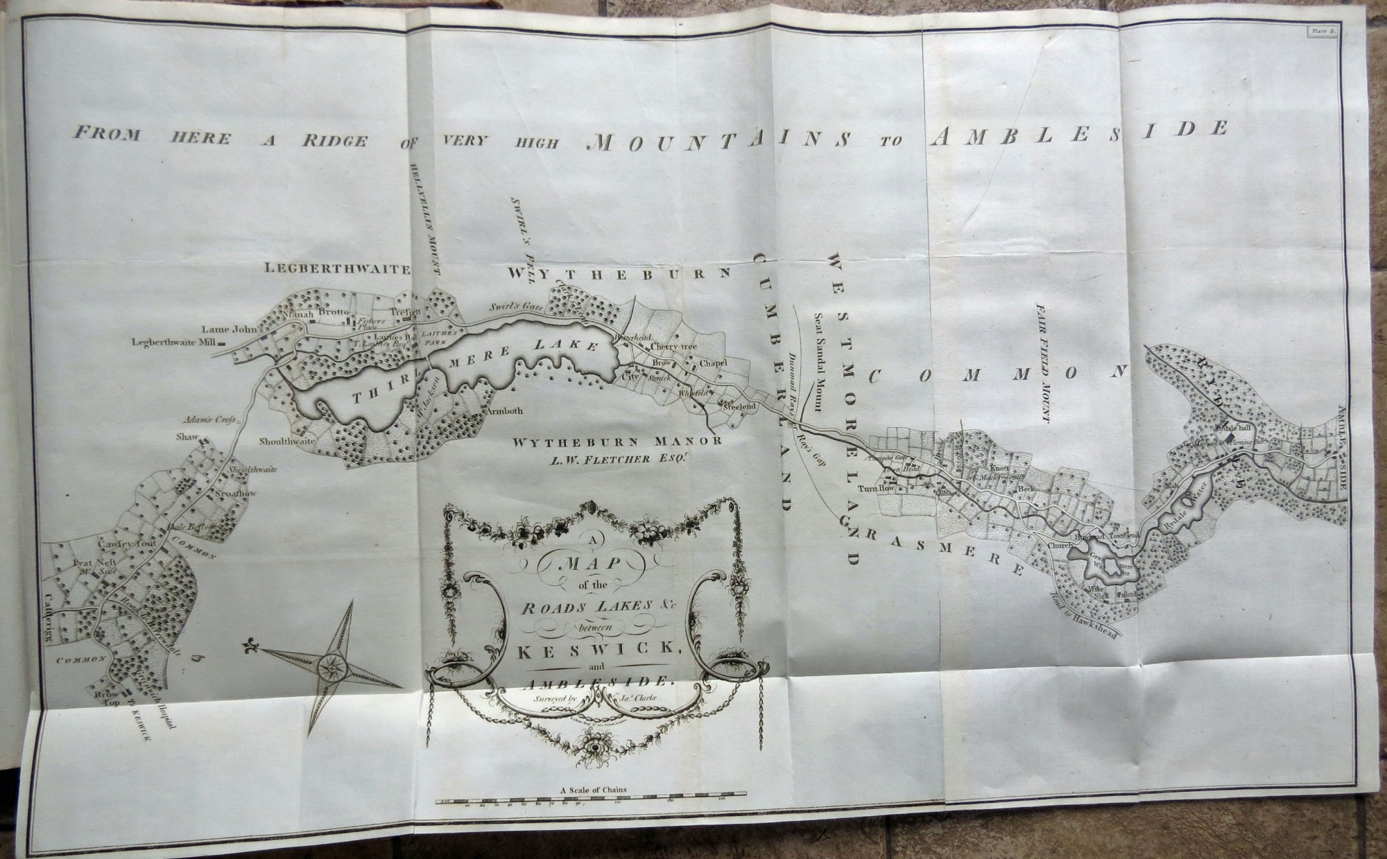
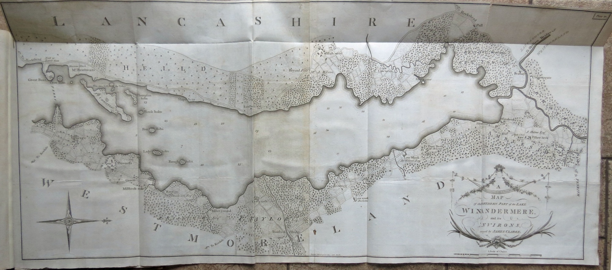
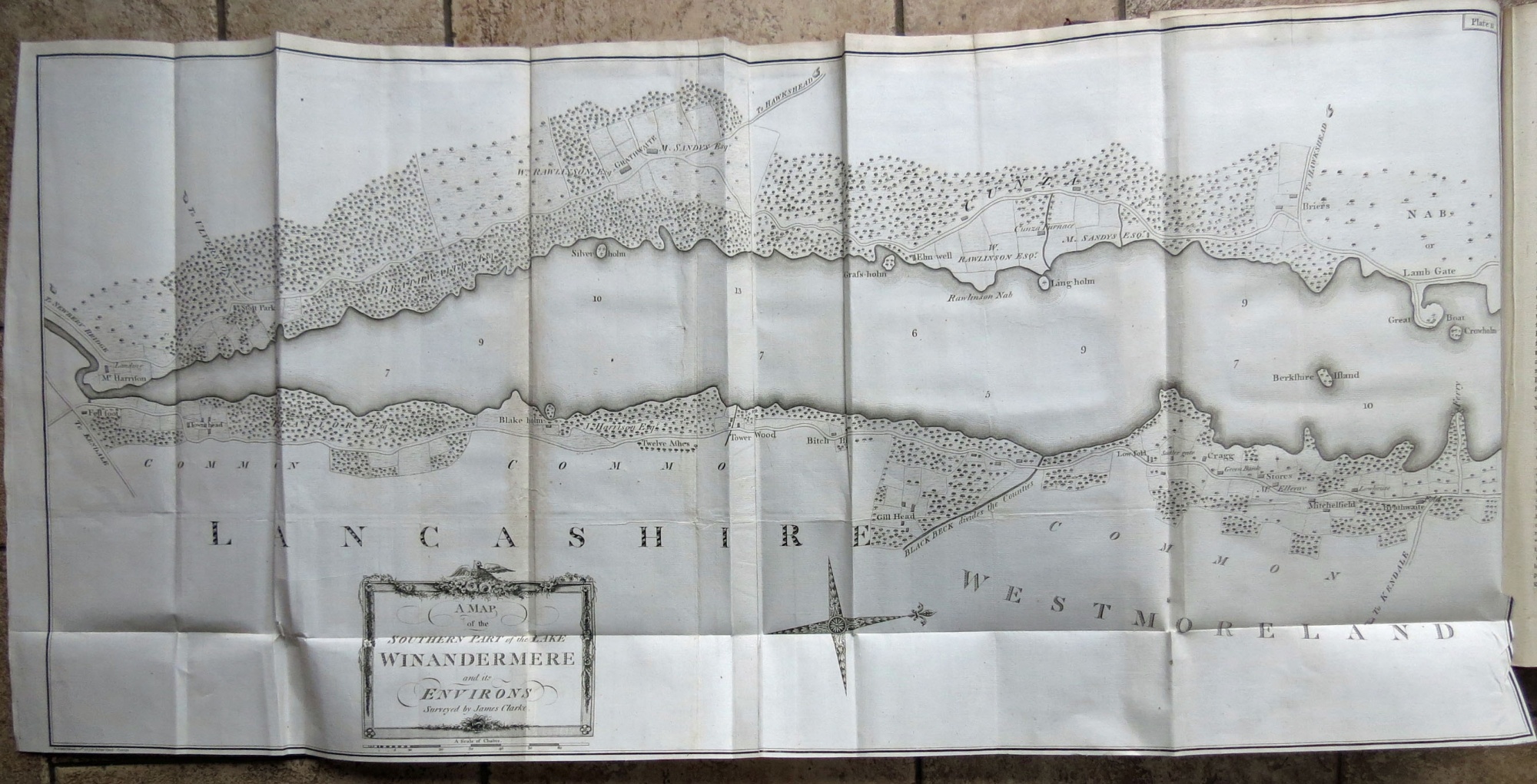
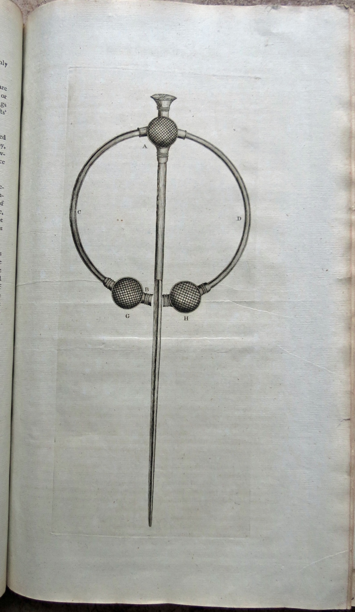
James Clarke was a Penrith-based surveyor who published a large (elephant folio) sized book on the Lakes, containing eleven maps, plus two other engravings (one of the view from Penrith Beacon, and one of the thistle brooch fround at Flusco in 1785), aimed at the tourist trade. The first edition was published in 1787, the second in 1789. The maps were notable for the large scale, and for such details as field boundraies, and landlords' names. The maps all folded out of the volume - and the biggest was that of Derwentwater, which measured 133 x 49 cms.
Click on the image to go to the map, then click on the 'four arrows' symbol (bottom right corner of the map) to expand them to large size


