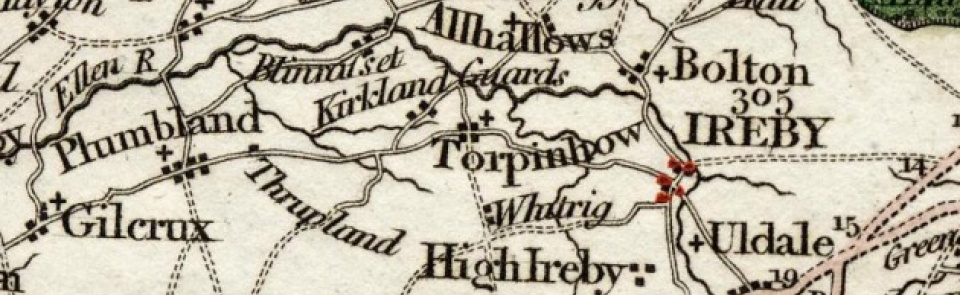
Torpenhow & Whitrigg
Township in Torpenhow parish, Allerdale below Derwent ward, Cumberland. CP abolished 1934, most becoming part of newly created Blennerhassett & Torpenhow CP; remainder (former moorland surrounding Roman fort at Caermote) added to Bewaldeth & Snittlegarth CP.
Acreage:
2,742 acres [1,110 ha], including part of Bothel and Torpenhow commons, totalling 2,200 acres [890 ha], enclosed 1811. Open field (‘townfield’) at Whitrigg enclosed 1776.
Population:
generally in range 250-300 between 1801 and 1931 (last census year for which separate figure available), but rising slightly in mid-19th century (peak of 349 in 1851).
Landownership:
manor of Torpenhow passed through several families (including Stutevill, Mulcaster, Tilliol, Moresby and Colville) in medieval centuries. By 17th century it was held by Salkelds of Whitehall, from whom it passed by descent to Charltons of Hesleyside (Northumb.) in 18th century. Whitrigg was separate estate, held by Skeltons of Armathwaite by 17th century; Sir Wilfred Lawson of Isel and Brayton was lord of manor 1900.
Economy:
predominantly agricultural; limestone quarrying and lime-burning in 19th century. Race course on common land between Caermote and Moota in 17th century.
Places of worship:
medieval parish church of St Michael; restored 1880-2. Mission hall used for nonconformist services in late 19th century and later by Cumberland Scripture Readers’ Trust; sold 1978 and became part of Tindall House field study centre.
Schools and other institutions:
Sunday school, founded 1855, became National school 1895; had closed by 1970 when it became dormitory for field study centre for St Bede’s Grammar School, Bradford, and was renamed Tindall House. Reading room and library in village by 1900. Village hall built 1951; replaced by new building 2003.

