Staffield
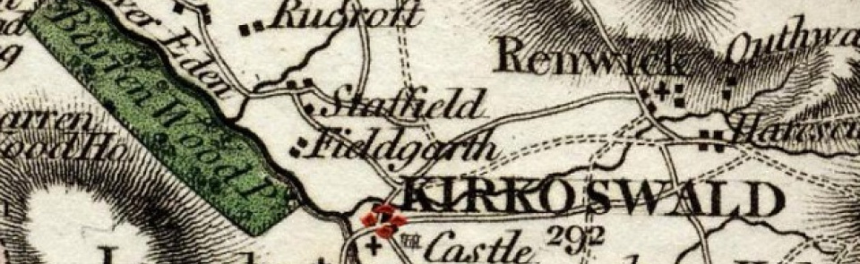
Township in Kirkoswald parish, Leath ward, Cumberland. Absorbed into Kirkoswald CP 1934.
Acreage:
5,636 acres [2,281 ha]; including 3,206 acres [1,320 ha] of commons enclosed 1816.
Population:
rising from 276 in 1801 to 309 1811 and 1821; then declining to 193 in 1931 (last census year for which separate figure available).
Landownership:
manor of Staffield held by Thomas de Moulton of Gilsland by c.1300, passing to Dacres and descending with manor of Kirkoswald (q.v.). Reputed manor of Staffield: properties purchased from Alanby family by Sir Richard Fletcher of Hutton c.1607 claimed 1702 to be one-third of manor; courts held by Fletchers (later Fletcher-Vanes) with whom it descended to 19th century.
Economy:
predominantly agricultural. Small-scale freestone quarrying; lime-burning at Clints Quarries; coal mines at Burned Edge and elsewhere on Scarrowmanwick Fell, mid-19th century.
Places of worship:
none.
Schools and other institutions:
none.

