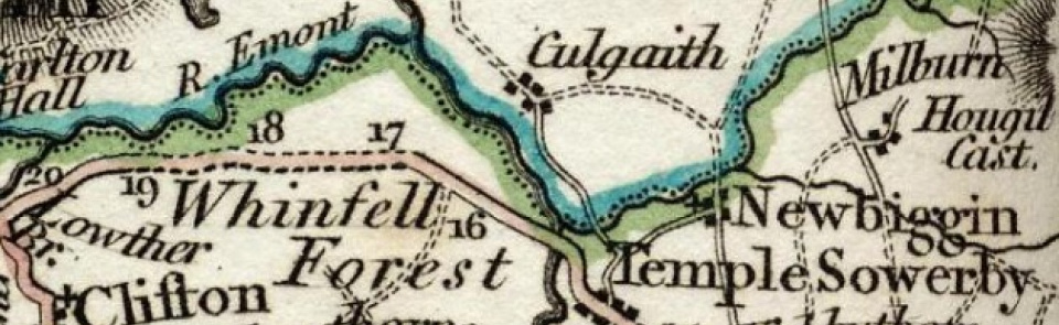
Milburn
Chapelry and township in Kirkby Thore parish, East ward, Westmorland.
Acreage:
7,957 acres [3,220 ha], including extensive Pennine moorland of Milburn Forest (5,026 acres [2,034 ha]) which remains unenclosed common land. Milburn Fell Pasture (166 acres [67 ha]), enclosed 1857
Population:
237 in 1801, rising to peak of 348 in 1841; declining thereafter to 146 in 1981; stood at 171 in 2001.
Landownership:
manor of Milburn held by Patrick, earl of Dunbar early 14th century. Forfeited and granted to branch of Lancaster family, passing by marriage successively to Crackenthorpe (early 15th to mid-16th century), Sandford (mid-16th century to 1723) and Honywood (from 1723) families, until sold by Philip Honywood to earl of Thanet 1780. Manorial rights sold to Corlands Minerals Ltd 1926
Economy:
farming; quarrying and lime-burning in 19th century; coal and lead mining on Dun Fell and Milburn Forest. Worked by London Lead Co. in 19th century; main lead mine (with crushing mills) at Silverband on slopes of Dun Fell; closed after First World War. Silverband mine re-opened for barytes extraction 1939 to 1966 and 1980 to 1996.
Places of worship:
medieval chapel of ease of St Cuthbert recorded 1227; bellcote added 1894. Wesleyan Methodist chapel built 1834; closed 1988 and converted to dwelling.
Schools and other institutions:
schoolroom built on common; endowed 1790. New school built on village green 1851; now Milburn Primary School. Parish hall opened 1912, providing meeting room, supper room, reading room and library.

