Hugill
Township in Kendal parish, Kendal ward, Westmorland, including village of Ings. Merged with Nether Staveley and Over Staveley CPs 2004.
Acreage:
2,901 acres [1,173 ha]. Common land enclosed, along with commons in Applethwaite and Troutbeck, 1842.
Population:
rising from 237 in 1801 to peak of 443 in 1851; in range 350-400 across later 19th and early 20th century (temporarily inflated to 559 in 1891 by influx of workmen constructing Thirlmere aqueduct); had dropped to 341 by 1961; increased across later 20th century to stand at 416 in 2001.
Landownership:
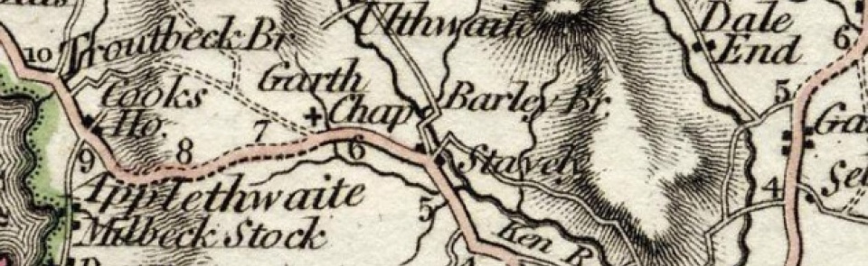
part of manor of Staveley (see Over Staveley).
Economy:
farming; lead-mining with smelt mill near Scroggs Bridge late 18th to early 19th century; bobbin manufacture at Ings, Fellfoot, Rawes and Newgate mills in mid-19th century. Motor mechanic’s garage at Ings opened 1931 (building used as bullet factory during Second World War).
Places of worship:
St Anne’s chapel of ease at Grassgarth recorded 1546; ruins still visible 1692. Replaced by chapel at Ings, built and endowed by Rowland Wilson 1635. Rebuilt as present church of St Anne 1743; north transept added 1877.
Schools and other institutions:
school attached to chapel at Ings endowed 1654; further endowment 1854; rebuilt 1869 as CE primary school; closed 1972; building now parish hall. Almshouses at Grassgarth, endowed c. 1743; closed 1989.

