Claife
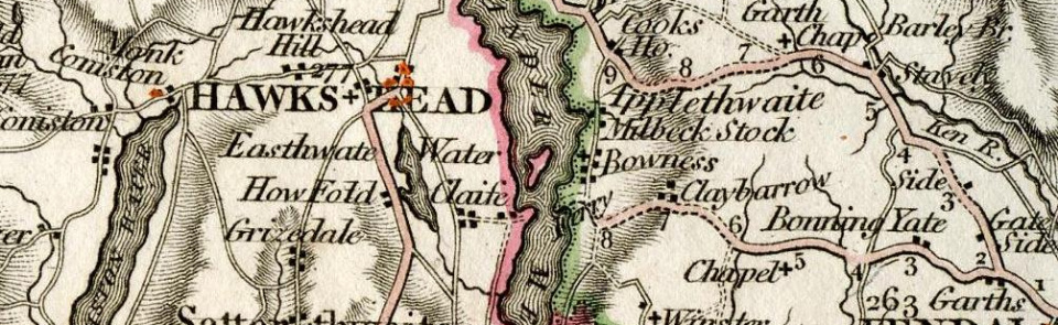
Township in Hawkshead parish, Lonsdale hundred, Lancashire North of the Sands.
Acreage:
4,457 acres [1,804 ha], including 1,500 acres [607 ha] of common land, enclosed 1799. Township contained two divisions: Upper Claife (Wray area): 2,077 acres [841 ha]; and Lower Claife (containing Near and Far Sawrey): 2,501 acres [101 ha].
Population:
rising from under 400 in early 19th century to 563 in 1901 (peak: 627 in 1891); then falling across 20th century to stand at 298 in 2011.
Landownership:
part of Furness Abbey’s estate in Furness Fells. Curwen family of Workington held extensive estate on Claife Heights by early 19th century. James Dawson, Liverpool surgeon, built Wray Castle 1840-7.
Economy:
farming and woodland industries, particularly charcoal burning. Iron smelting at Cunsey forge from 1618; bloomery forge superseded by blast furnace 1711-12; closed 1750. Tourism increasingly important from 18th century; Claife was western terminus of Windermere ferry with viewing station nearby.
Places of worship:
church of St Margaret of Antioch, Low Wray, said to have been built 1845 (porch sundial dated 1856). St Peter’s Church, Far Sawrey, built 1866-72. Quaker burial ground at Colthouse from 1658; Quaker meeting house built nearby 1688; extended 1978; still in use.
Schools and other institutions:
school at Far Sawrey founded 1775; closed 1971; now used as village hall (‘Braithwaite Hall’). School at High Wray built early 1840s; closed 1931; now village hall. Claife poor house, beside Esthwaite Water on boundary between the two divisions, mid-19th century. Sawrey Institute, opened as reading room 1884.

