Bootle
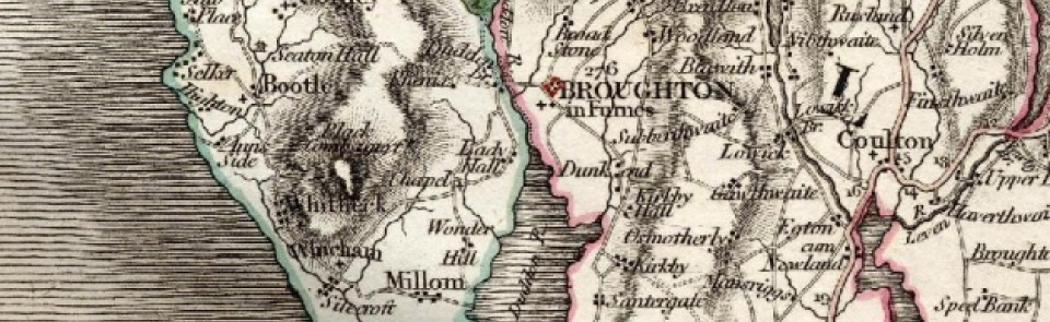
Ancient parish in Allerdale above Derwent ward, Cumberland.
Acreage:
6,786 acres [2,746 ha], including 1,113 acres [450 ha] of common on Bootle Fell, enclosed 1857, part of which (705 acres [285 ha]) remains registered as common land. Coastal moorland at Hycemoor (460 acres [186 ha]) enclosed 1801; sand dunes at Eskmeals (955 acres [386 ha]) enclosed 1870.
Population:
estimated at 555 in 1688; 547 in 1801, rising to 901 in 1861, then levelling at around 800 for most of 20th century (peak: 1,007 in 1961).
Landownership:
manor of Bootle was held by Copeland family in 13th century but appears to have been divided between heiresses. In 17th century was in hands of Hudleston, Pennington and Senhouse families.
Economy:
formerly a small market town, with market charter granted 1347; market had ceased by mid-19th century, though cattle fairs and hiring fairs for servants continued then. Parish largely agricultural; tile works at Skelda Hill in mid-19th century (had ceased by 1900). Eskmeals (sand dunes at northern end of parish) was rabbit warren by 17th century and was acquired as naval gunnery range by Vickers of Barrow 1897. Royal Ordnance Factory established at Hycemoor 1941-2, with camp for 500 workers near Bootle Station.
Places of worship:
medieval parish church of St Michael; transepts added 1837 and tower built 1850s to 1882. Independent chapel, built 1780 for Countess of Huntingdon’s Connexion; became United Reformed Church; restored 1993; has been independent Evangelical Church since c.1995.
Schools and other institutions:
grammar school at Hyce Moor endowed 1713; rebuilt 1847; closed 1991. School in Bootle, endowed by naval captain Isaac Shaw, built 1830; now Captain Shaw’s CE Primary School. Bootle Union workhouse built 1856-7, replacing older workhouse in Bootle village. Main workhouse building demolished later 20th century; infirmary block converted to dwelling.

