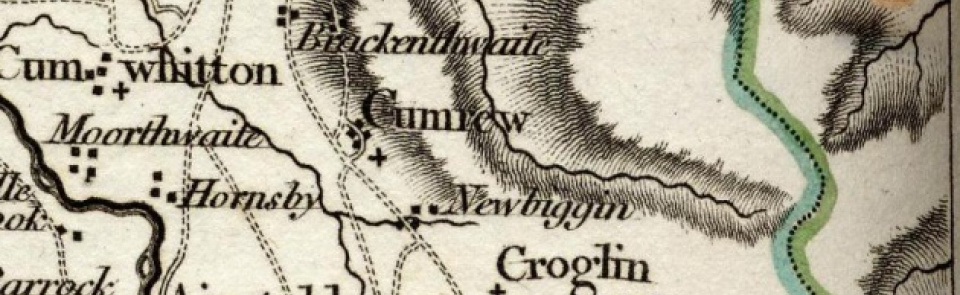
Cumrew
Ancient parish in Eskdale Ward, Cumberland. CP enlarged by gaining part of Croglin CP 1934.
Acreage:
2,772 acres [1,122 ha] before boundary changes, divided between townships of Cumrew Inside (1,782 acres [721 ha]) and Cumrew Outside (990 acres [401 ha]). Encompassed part of King Harry common (6,000 acres [2,428 ha] in total), straddling boundary with Cumwhitton, enclosed 1801.
Population:
estimated at 255 in 1688. Rose from 181 in 1801 to peak of 231 in 1821, falling thereafter to stand at 90 in 1931 (last census year before boundary changes). Population of enlarged CP stood at 85 in 2001.
Landownership:
part of barony of Gilsland (see Brampton).
Economy:
predominantly agricultural; sheep-rearing on fell commons important in 17th century. Lime-burning in 19th century.
Places of worship:
medieval parish church of St Mary; rebuilt 1890.
Schools and other institutions:
school (supported by quarter pence and ‘whittlegate’) recorded 1815. New school built, just outside parish boundary near Rising Sun Inn, 1845; closed c.1948.

