Whicham
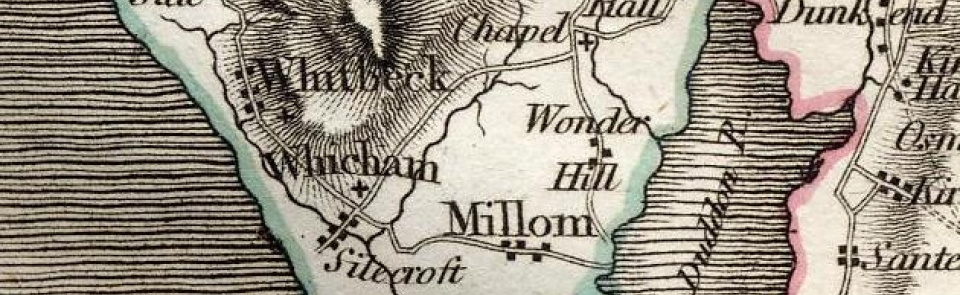
Ancient parish in Allerdale above Derwent ward, Cumberland, including village of Silecroft. CP enlarged by absorbing Whitbeck CP 1934.
Acreage:
4,883 acres [1976 ha], including part of 4,303 acres [1,742 ha] of unenclosed common fell on Black Combe and White Combe in Whicham and Whitbeck parishes.
Population:
estimated at 445 in 1688; in range 230-330 for much of 19th century, rising to peak of 455 in 1891, from which it fell to 319 in 1931 (last census year before boundary change).
Landownership:
manor of Whicham held by Bethom family in 13th century and Corbet family by early 14th; by 19th century lordship had passed to earls of Lonsdale. ‘Satherton’ (north-eastern part of parish) retained under direct lordship of lords of Millom.
Economy:
predominantly agricultural; brick- and tile-making at Silecroft in later 19th century; lead mining (recorded in place-name ‘Lead Mine Breast’). Pencils of Black Combe slate manufactured in parish in early 19th century.
Places of worship:
medieval parish church of St Mary; restored and enlarged 1858.
Schools and other institutions:
endowed National school beside church, formerly Whicham and Millom Grammar School, apparently founded before 1540; rebuilt 1862; closed 1970s. Parish room built at Silecroft by 1922; now Silecroft village hall.

