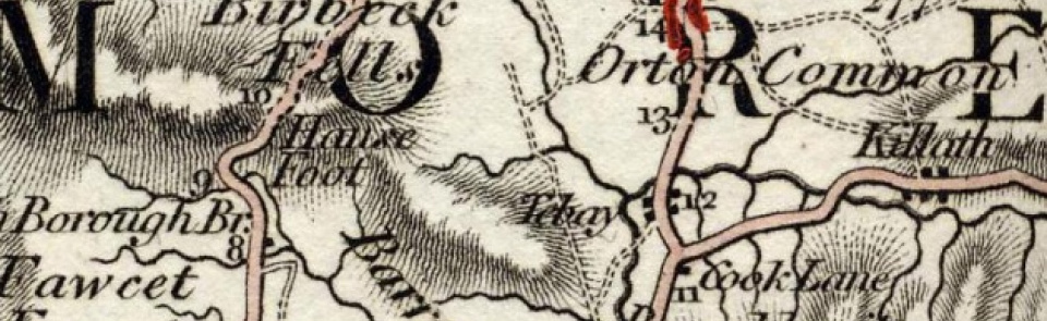
Tebay
Township in Orton parish, East ward, Westmorland, which became separate CP 1897. Tebay CP absorbed part of Grayrigg CP 1935.
Acreage:
6,855 acres [2,774 ha] before boundary change; including 1,217 acres [493 ha] of registered common land on Tebay Fell and 946 acres [383 ha] at Roundthwaite common. Roundthwaite Cowbound pastures (274 acres [111 ha]) enclosed 1858.
Population:
stood at c.400 in mid-19th century before arrival of railway, growing rapidly to 684 by 1871 and to peak of 1,093 in 1901; declined across 20th century to low of 594 in 1981; stood at 728 in 2001.
Landownership:
manor of Tebay appears to have been in divided ownership in middle ages; whole acquired by Wharton family in 16th century, passing to Lowthers, probably in 1730s
Economy:
hill farming. Tebay village grew on arrival of railway with Tebay station (opened 1852; closed 1968) at convergence of Lancaster & Carlisle Railway (opened 1846) and South Durham & Lancashire Union Railway (opened 1861). Market established by 1880s with market hall near station. Small industrial estate at Tebay goods yard and engine sheds after railway closure. For service stations on M6 see Orton.
Places of worship:
St James’ church built 1878-80. Primitive Methodist chapel built 1865; still in use. Gaisgill Wesleyan Methodist chapel built 1841; restored 1895; closed 2003.
Schools and other institutions:
school endowed 1672; schoolhouse at Old Tebay replaced by new school at Mount Pleasant 1863; enlarged 1892; closed 1960s (now guest house). Infant school built near Methodist chapel early 20th century; now Tebay Primary School. Victoria Institute (wooden building, formerly Sedbergh School chapel, moved to Tebay by train c.1899) opened 1900; now closed. Gaisgill reading room built 1909; now closed.
The Place-name Tebay
Placenames -sources of information
There is no reference to this township in the Key to English Placenames - (place-name elements and their meanings)
Tebay - historical place-name forms

