Mungrisdale
Chapelry and township in Greystoke parish, Leath ward, Cumberland. Modern CP of Mungrisdale formed 1934 by amalgamation of Mungrisdale, Bowscale, Berrier and Murrah, and Hutton Roof CPs.
Acreage:
6,593 acres [2,668 ha], much of it fell grazings. 500 acres [202 ha] of Mungrisdale commons enclosed 1893; 4,400 acres [1,781 ha] of common remained unenclosed.
Population:
rising from 160 in 1801 to peak of 236 in 1921; then slow decline to 122 in 1931 (last census year before boundary change).
Landownership:
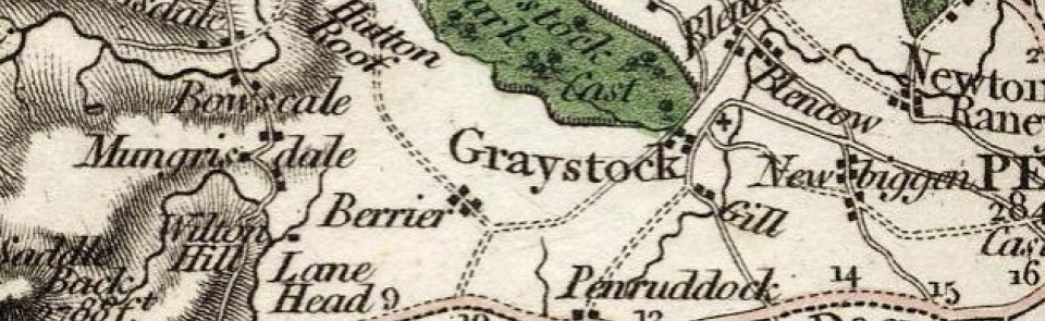
held by barons of Greystoke (q.v.).
Economy:
predominantly hill farming. Blue slate and flagstone quarrying in 19th century. Lead and plumbago mining at Bannerdale mid-19th century; closed 1870. Lime-burning on eastern side of township in 19th century.
Places of worship:
chapel of ease by 16th century; dedication to St Kentigern (or Mungo) thought to have given name to township. Rebuilt 1756; restored 1925.
Schools and other institutions:
public elementary school built 1835; closed 1960. Village hall originated as corrugated iron recreation room, a former mining office, bought from Carrock Mining Co. by Women’s Institute 1920s; rebuilt in stone 2004.

