Hutton Roof
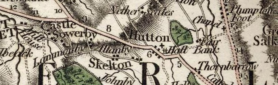
Township in Greystoke parish, Leath ward, Cumberland. Absorbed into Mungrisdale CP 1934.
Acreage:
2,643 acres [1,070 ha]; commons enclosed 1796.
Population:
in range 160-200 for most of 19th century, with peaks of 214 in 1821 and 209 in 1851; gentle decline to 108 by 1931 (last census year for which separate figure available).
Landownership:
part of barony of Greystoke (q.v.).
Economy:
predominantly agricultural; some lime-burning and freestone quarrying early 19th century.
Places of worship:
school licensed for worship 1847.
Schools and other institutions:
school funded by charitable endowment built 1830; burnt down 1905; rebuilt following year; replaced by new school 1968, which closed 1984.

