Bridekirk
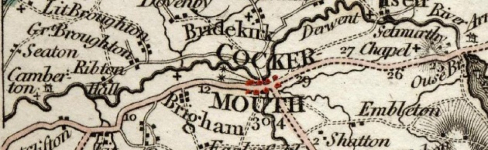
Township in Bridekirk parish, Allerdale below Derwent ward, Cumberland. CP enlarged by absorbing Dovenby and Tallentire CPs 1934.
Acreage:
873 acres [353 ha] excluding Hames Hall area (171 acres [69 ha]), formerly detached portion of Dovenby, which was added to Bridekirk CP 1887; thereafter Bridekirk covered 1,044 acres [422 ha] until 1934 boundary change. Commons enclosed 1835.
Population:
in range 100-125 across early and mid-19th century, then drifting down from 139 in 1871 to 105 in 1931 (last census year before boundary change).
Landownership:
granted to Gisburn Priory (Yorks.) in 12th century. After Dissolution granted to Henry Tolson 1543, in whose family it descended; tenants enfranchised 1701. Woodhall was separate estate of Tolson family, which they sold 1707; had passed to Fisher family by mid-19th century. Hames Hill estate was owned by Senhouse family from 1655 until 19th century.
Economy:
predominantly agricultural; limestone quarrying and lime-burning in 19th century.
Places of worship:
medieval parish church of St Bridget (containing richly-decorated 12th-century font); replaced by new building adjacent to old church (parts of which still stand) 1868; extended 2010
Schools and other institutions:
for parish school, see Dovenby.

